Earthquake in Indonesia
Posted on: 15/Nov/2014 12:18:05 PM

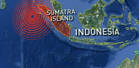
Indonesia experienced earthquake of 7.3 magnitude in the early hours today. According to monitoring agencies, this earthquake has the potential to generate tsunami.
Reports from U.S. Geological Survey state that the earthquake hit 154 km which is equivalent to 96 miles northwest of Kota Temate the depth of which is measured to be 47 km (29 miles).
No report of casualty or damage is reported so far. Following this, the Pacific Tsunami Warning Center alerted that there is a possibility of hazardous tsunami waves within 300 km of the epicenter which encompasses Indonesia and southern Philippines. These tsunami waves could reach 3.28 feet height which is approximately one meter.
Communities of Tabukan Tengah are likely to be at risk, the agency added. Tsunami waves may also reach Taiwan, Okinawa, US territory of Guam, Solomon islands, Papau New Guinea, and the Marshal Islands of pacific in another six hours.
The reason behind earthquake in Indonesia the world�s largest archipelago is its location on the Pacific �Ring of Fire� which is an arc of volcanoes and comprises of fault lines in the Pacific basin.
In 2004, there occurred a monster temblor off Aceh shores that triggered tsunami in which 230000 individuals belonging to varied countries lost their lives.


