Low Pressure situation: There will be heavy rains in Chennai for the next 3 days!
Posted on: 30/Nov/2015 4:05:08 PM

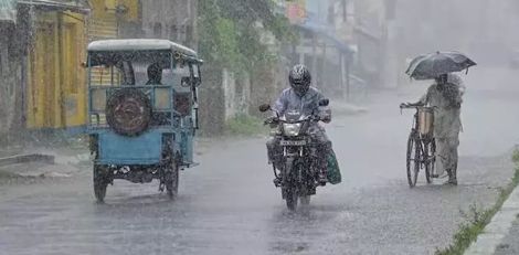
As of now (4.00 PM, Monday, 30th November), it has been raining heavily in some parts of Chennai city such as Parry`s Corner, Chepauk, etc. Heavy drizzle continues at Pattinappakkam, Santhome, etc.
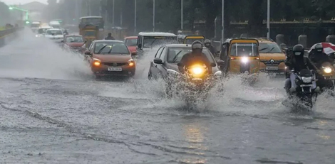
Heavy traffic in Velachery - Tharamani road due to waterlogged.
Director of Chennai Meteorological Centre, Mr. Ramanan shared some information with th press reporters.
The low depression which formed over the Southeast Bay of Bengal had weakened and disappeared. However, a new low pressure zone has formed over Southwest Bay of Bengal is moving towards Southeast as on 8.30 AM today. .
Because of this, it has rained heavily in several places in Tamil Nadu and Pudhucherry. More rains can be expected in the next 24 hours especially in the coastal districts and wide-spread rain in the interior districts.
There may be heavy rains or very heavy rains in the coastal districts. There will be heavy rains in one or two interior districts.
Chennai would continue to remain cloudy. There may be intermittent rains in some parts of Chennai Metro City. There is the possibility of heavy rains also in some places in the city.
This recent low pressure zone is moving in the South Sri Lanka area. As there are no chances for a cyclonic convection forming, there are very little chances of this low pressure form to intensify further.
Owing to this low pressure form, there may be heavy rains for the next 3 or 4 days.
Then, the rains may abate gradually. There are possibilities for any cyclone/storm development.
As far as Chennai District is concerned, there has been a rainfall so far of 117 cm as compared to the average expected rainfall of 79 cm.


