Decrease in rainfall because low pressure moves towards Andhra
Posted on: 17/Nov/2015 11:04:32 AM

There would be decrease in rainfall as the well marked low pressure area over southwest Bay of Bengal has moved off north Tamil Nadu coast and would cross south Andhra Pradesh coast.
The North East Monsoon has been intensified in Tamil Nadu. Because of this, there were heavy rains in many northern districts of Tamil Nadu. There were lesser rains in Southern District.
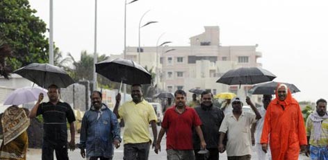
In Chennai and suburbs there is heavy flooding of rain waters because of this people are put into great distress. There are 2 feet level water in the roads. At this juncture the well marked low pressure area over southwest Bay of Bengal has moved off north Tamil Nadu coast and would cross south Andhra Pradesh coast.
Chennai meteorological centre director Ramanan while speaking said, Well marked low pressure area over Southwest Bay and neighborhood moved Northwest-wards now lies off North Tamil Nadu coast. It is likely to move Northwest-wards and cross North Tamil Nadu-South Andhra Pradesh Coast. Under its influence rainfall activity over North Tamil Nadu gradually reduced. Northeast monsoon has been vigorous over Tamil Nadu and Rayalaseema and because of this there were heavy rains in Tamil Nadu. Rain or thundershowers would occur at most places over Andhra Pradesh, at many places over Coastal Tamil Nadu, Puducherry and South interior Karnataka and at a few places over interior Tamil Nadu, Telangana, Kerala, Lakshadweep, Coastal and North interior Karnataka. Strong squally winds will be 35 to 45 KMPH in gusty 55 KMPH would prevail over North Tamil Nadu and Puducherry. As far as Chennai is concerned the sky condition would be generally cloudy. One or two spells of rain may occur. Maximum and minimum temperature would be around 30 and 25 deg Celsius respectively.


