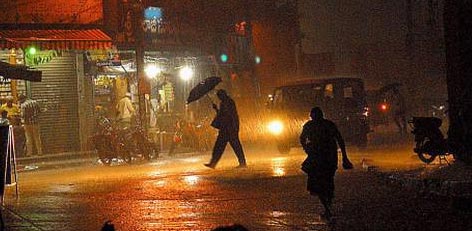
Good rains to continue in Chennai for 2 to 3 day
Posted on: 01/Sep/2017 4:58:59 PM

This year, the performance of Southwest Monsoon was pretty good in terms of precipitation over Tamil Nadu including Chennai. The state lies in a rain shadow area; as a consequence during Southwest Monsoon, it receives not much rain as compared to Northeast Monsoon.
As on August 31, Chennai has recorded 259 mm of rainfall as against its monthly mean of 140.4 mm. This shows that the city has already surpassed its monthly mean that too with an extremely good difference. As far as the rainfall distribution is concerned, the state of Tamil Nadu is rain surplus by 24%.
During the last 24 hours, northern as well as southern regions of Tamil Nadu have received light to moderate rains with one or two heavy spells. Whereas, the central areas witnessed subdued rains during the same time frame.
In a span of 24 hours from 8.30 am on Thursday, Vellore recorded 51 mm of rain and Tondi 30 mm. While, Nugambakkam Observatory of Chennai recorded 1 mm of rain and Minambakkam mere 0.3 mm of rain.
Now, a cyclonic circulation is persisting over Comorin area. Along with this, a trough is running from Odisha Coast to Coastal Tamil Nadu. Hence, light to moderate rains with one or two heavy spells are likely to continue over many parts of Tamil Nadu; particularly the interior areas will witness good showers for next 2 to 3 days.
Meanwhile, Gateway to South India, Chennai is also expected to witness few short spells of rain. Though rains will not be widespread but few areas may observe light to moderate showers for another 2 to 3 days.
So many parts of Tamil Nadu will have cloudy sky and temperatures will settle in the lower 30s. Day will remain warm however these showers will give some much needed respite to Chennaites from the prevailing sultry weather.
Courtesy: skymetweather.com


