Storm Kai Tak to reemerge in Andaman Sea
Posted on: 19/Dec/2017 12:04:13 PM

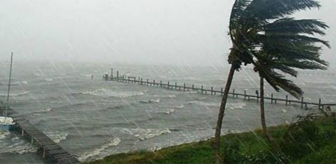
Storm Kai Tak had formed in the Southwest Pacific Ocean on December and began to move in a west-northwest direction towards Eastern Samar province. Since then, it has already given heavy rains over eastern parts of Visayas.
The storm, which is locally known as Urduja thereafter moved towards Philippines, lashing the region with torrential rains. Despite not being a very severe storm, Kai Tak did cause way too much damage in Philippines.
Because of landslides and floods and heavy rains over the region, at least 30 people were killed and 23 have been missing so far.
Not only this, about 88,000 people were forced to evacuate their homes due to Kai Tak. Along with this, ferry services have also been affected due to which over 15,000 passengers have been stranded, out of which many were trying to reach home for the Christmas holidays.
On Sunday, Kai Tak weakened into a tropical depression and is now seen over southern parts of the South China Sea. The system, as a weaker version of what it was, will move in a west-northwest direction causing heavy rains even after it weakens.
Now, Kai Tak will target Vietnam, Cambodia and the Malay Peninsula around December 21 and 22 giving heavy rains over the region. Due to its proximity to the landmass, the system will cross as a depression or even as a well-marked low-pressure area.
Thereafter, from Malay Peninsula, the system will reemerge in the Andaman Sea around December 23 and 24. Thereafter, depending on the sea conditions, it may even gain strength.
After it enters the Andaman Sea, if it gains latitude, it may recurve towards Myanmar and Bangladesh. However, if it does not gain enough latitude, the system may continue its track westward and move towards Tamil Nadu.
However, the further track of the system is a long haul and will get clearer as it remerges into the Andaman Sea.
Courtesy: skymetweather.com


