Intelligent flood warning system CFLOWS in Chennai
Posted on: 18/Oct/2019 9:55:49 AM

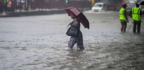
Getting area-wise details about the inundation during the monsoon time in Chennai would be possible now.
The sensational piece of information is TN would soon deploy an intelligent flood warning system in Chennai to help the officials to get area-wise details about inundation. It is important to note that the technology termed �CFLOWS� is India�s first integrated coastal flood warning system.
Information collected is after the 2015 Chennai floods CFLOWS has been conceptualized by the office of the Principal Scientific Advisor to the union government. Urban flooding has become common in major cities like Chennai, Mumbai, etc. It is now said that this �CFLOWS� would be a game-changer in these major cities.
National Centre for Coastal Research or NCCR on Friday would hand over the link to the fully operational CFLOWS to the State Disaster Management cell. This CFLOWS would be used immediately and this was confirmed by Mr. J. Radhakrishnan, the officer heading disaster management and mitigation in TN.
He then spoke about how CFLOWS would be tested for one to two weeks before being integrated with TN Smart. He explained about how the system has been designed for core urban places of Chennai spread across 426 sq km. Mr. Radhakrishnan hinted that EFLOWs would also cover the GCC limits in the future.
As per Mr. M.V. Ramamurthy, NCCR director, CFLOWS is a web GIS-based decision support system and it would integrate data and outputs derived from weather forecast, hydrologic, hydraulic and hydrodynamic models. He explained how based on these models a flooded library having 796 flood inundation scenarios was developed corresponding to different rainfall return periods, tidal and water discharge conditions. It must be noted that as per the needs of the TN government a complete Web GIS-based decision support system has been built with 6 modules. The system would be tested in this monsoon.


