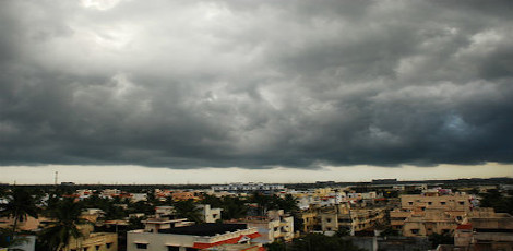
Cyclonic Circulation Brings Relief to Chennai with Rainfall
Posted on: 22/Aug/2023 5:05:15 PM

On Tuesday, several parts of the city were greeted by dark clouds, gusty winds, and intermittent light rain. This weather pattern is expected to persist in both coastal and interior districts for the next few days due to a cyclonic circulation over north Tamil Nadu. The Regional Meteorological Centre (RMC) has indicated that the rain will gradually decrease, giving way to higher temperatures.
The RMC reports, "Under the influence of a north-south trough running from south interior Karnataka to the Comorin area across interior Tamil Nadu at 0.9 km above mean sea level, a cyclonic circulation lies over north Tamil Nadu and adjoining Rayalaseema at 1.5 km above mean sea level. As a result, heavy rain is likely to occur over Salem, Namakkal, Karur, Dharmapuri, Dindigul, and Madurai districts of Tamil Nadu over the next 24 hours," according to P Senthamarai Kannan, director of the area cyclone center, RMC.
Chennai and its surrounding suburbs are expected to experience cloudy skies and light to moderate rain, coupled with thunderstorm activity during the evening hours in some areas for the next two days. The maximum temperature is likely to decrease due to convective rainfall activity in the city. The weather stations at Nungambakkam and Meenambakkam are expected to record temperatures around 36 degrees Celsius for the next 48 hours.
Tamil Nadu weatherman Pradeep John predicts widespread rain for Chennai and other districts, including the delta and interior districts such as Madurai, Salem, Trichy, and Thanjavur, for the coming days.
According to RMC rainfall data, over the past 24 hours, Ice House in the Chennai district recorded 4 cm of rainfall, followed by Tiruvannamalai with 3 cm. Salem, Erode, Chengalpattu, and TVK Nagar in Chennai each received 2 cm of rainfall. This wet spell comes as a welcome relief to the region, providing respite from the scorching summer temperatures.


