Kumari Palany & Co

Now after heavy rains, there will be a further surge in temperatures in the coming days in Chennai - RMC!!

Posted on: 23/Oct/2024 9:20:57 AM

Chennai and its nearby areas received heavy rains in the first spell of North East monsoons. In the last 2 days, Chennai and its suburbs witnessed a surge in the temperature.

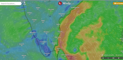
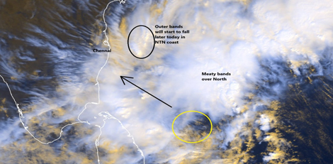
The news is that there would be further surge in the temperature in the city and suburbs in the coming days. The reason for this is when the system prevailing over the sea moves northwards then the wind flow pattern would change. This would lead to further rise in the temperature. This was as per some officials belonging to the Regional Meteorological Centre in Chennai.

It is noteworthy that the upper air circulation over Tamil Nadu and neighbourhood extending up to 5.8km above the mean sea level has become less marked. As a result, there was moderate to heavy rains in Tamil Nadu in the last 24 hours. Coastal districts like Chennai witnessed slight increase in the day temperature in the last 2 days.

According to Mr. P. Senthamarai Kannan, director, Area Cyclone Centre, RMC, Chennai, the air circulation prevails over the sea. He added that after the intense rains due to the onset of NE monsoons the sky has been bright. He concluded that this has resulted in a slight surge of 1 degree Celsius to 2 degree Celsius than normal.

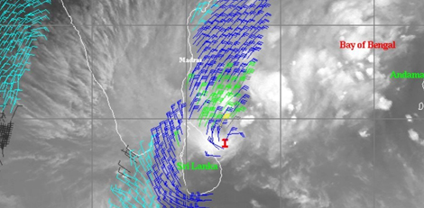
The coastal districts in Tamil Nadu might receive westerlies as the depression over the east central Bay of Bengal intensifies into a cyclonic storm and moves northwest. The maximum temp in the land would be increased by the change in the wind flow pattern. It is now said that in the coming days Chennai and its neighbouring districts are expected to have a slight increase in temperature.

Till 31st of October due to change in wind pattern, max temp are likely to be near normal to slightly above normal over Tamil Nadu.