WEATHER IN CHENNAI
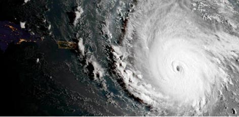
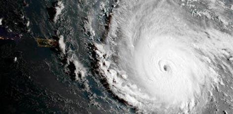
After Sagar, Cyclone Mekunu to form in Arabian Sea
Second low pressure of the season in Arabian Sea is all set to follow the same track of Cyclone Sagar. As predicted by Skymet Weather, the low-pressure area in Southeast Arabian Sea has become more marked.
Posted On :21/May/2018 3:29:45 PM
After Cyclone Sagar, another cyclone to form in Arabian Sea soon
The low pressure area has formed over Southeast Arabian Sea and an associated upper air cyclonic circulation is extending up to 3.6 km.
Posted On :21/May/2018 10:59:32 AM
Prospects of rain today (20th May) in Tamil Nadu
A cyclonic format has developed in the upper layers of the atmosphere over the area adjacent to Lakshadweep Islands, Further, there is the thermal convection phenomenon prevailing.
Posted On :20/May/2018 11:06:42 AM
Weather update (Tamil Nadu Weatherman)
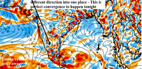
Its a perfect day for a perfect Thunderstorms with massive convergence, North Interior Tamil Nadu and Bangalore will see Thunder, Lightening, Hails and strong Gusts.
Posted On :20/May/2018 10:46:13 AM
Southwest monsoon rainy season may start in 4 days (23rd May)
The Indian Weather Bureau has informed that the southwest monsoon rainy season is likely to set in another 4 days in the Andaman region. This year, the monsoon season is set to start earlier than normal.
Posted On :19/May/2018 11:31:57 AM
Cyclone Sagar would not affect the weather in the state of Tamil Nadu
Just when people in the state of Tamil Nadu are worried about the cyclone Sagar, the Regional Meteorological Centre in Chennai has come out with an important piece of news now.
Posted On :19/May/2018 9:58:15 AM
After Cyclone Sagar, fresh Low pressure area to form in Arabian Sea soon
After Cyclone Sagar, Intertropical Convergence Zone (ITCZ) has triggered another weather system in the Indian waters. A cyclonic circulation had originated in the Comorin area during the last 48 hours.
Posted On :18/May/2018 10:08:26 AM


