Depression likely in Bay of Bengal, Monsoon 2017 inches closer
Posted on: 28/May/2017 11:24:12 AM
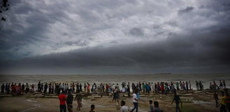

The low pressure area over southeast Bay of Bengal has got more marked and is now sustaining a strength of well marked low pressure area. It is presently prevailing over east-central and adjoining west-central and southeast Bay of Bengal.
According to Skymet Weather, conditions are favourable for its further intensification into depression during the next 12 hours. Thereafter, as the system will continue to travel in deep sea, it can further intensify into a deep depression in subsequent 24 hours. However, whether it will transform into a tropical cyclone or not, we have to wait and watch.
The system will now be tracking north-northeastwards towards Bangladesh coast. It is likely to cross Bangladesh coast by May 30, giving heavy to very heavy rainfall over coastal areas of the country.
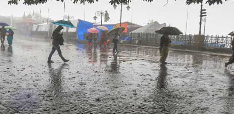
Meanwhile, in India, northeastern states of Nagaland, Manipur, Mizoram and Tripura (NMMT) will record heavy to very heavy rainfall.
Not only this, the system has also aided the strengthening of westerly winds and northward shift of shear zone. With this, conditions are also getting favourable for the progress of Southwest Monsoon into some parts of South Arabian Sea, entire Maldives�Comorin area and South Kerala during the coming 2-3 days.
During that time, it will also cover NMMT region along some more parts of southwest and east-central Bay of Bengal, remaining parts of southeast Bay of Bengal.
Courtesy: Skymet Weather