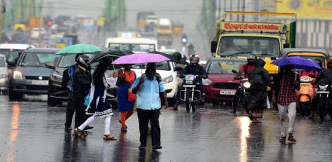
Pre Monsoon season begins with a bang as well-marked low forms in Bay, depression likely
Posted on: 12/Mar/2018 2:24:10 PM

As predicted, the low-pressure area in Comorin region has now intensified into a well-marked low pressure area. It is presently seen over Equatorial Indian Ocean and adjoining Comorin area, south Sri Lanka and Southwest Bay of Bengal.
According to Skymet Weather, the system would move in west-northwest direction towards Southeast Arabian Sea. As the system continues to move in favorable conditions, it is most likely to concentrate into a depression during the next 48 hours over Southeast Arabian Sea.
Following is the expected track of the weather system brewing in Indian Ocean over the next couple of days.
However, its further intensification is very unlikely. According to weathermen at Skymet Weather, usually we do not see many systems forming in Equatorial Indian Ocean due to dynamical reasons. Even if they form, they are not able to intensify beyond depression. They generally move in west-northwest direction.
Under the influence of the system, we can expect squally winds with the speed of 40-50 kmph gusting up to 60 kmph over Comorin area off Coastal South Tamil Nadu and South Kerala and over Southeast Arabian Sea during the next 48 hours and subsequently over Lakshadweep Islands in the next 72 hours. Sea conditions would also remain rough off and along the coast.
As per the meteorologists, after reaching Arabian Sea, it would then most likely travel in northwest direction. It would move parallel to the West Coast, but slight away from it.
The system would largely affect Comorin region and Sri Lanka, that could see come moderate to heavy showers in the coming days. But the peripherals of the system would be capable enough of giving good rains over parts of South and Interior Tamil Nadu, Kerala, Karnataka and even covering parts of Konkan & Goa region.
Major cities of Bengaluru, Chennai, Kochi, Mumbai and Hyderabad all stand good chances of witnessing first spell of pre-Monsoon rain and thundershowers of varying intensity.
Courtesy: skymetweather.com


